Overview
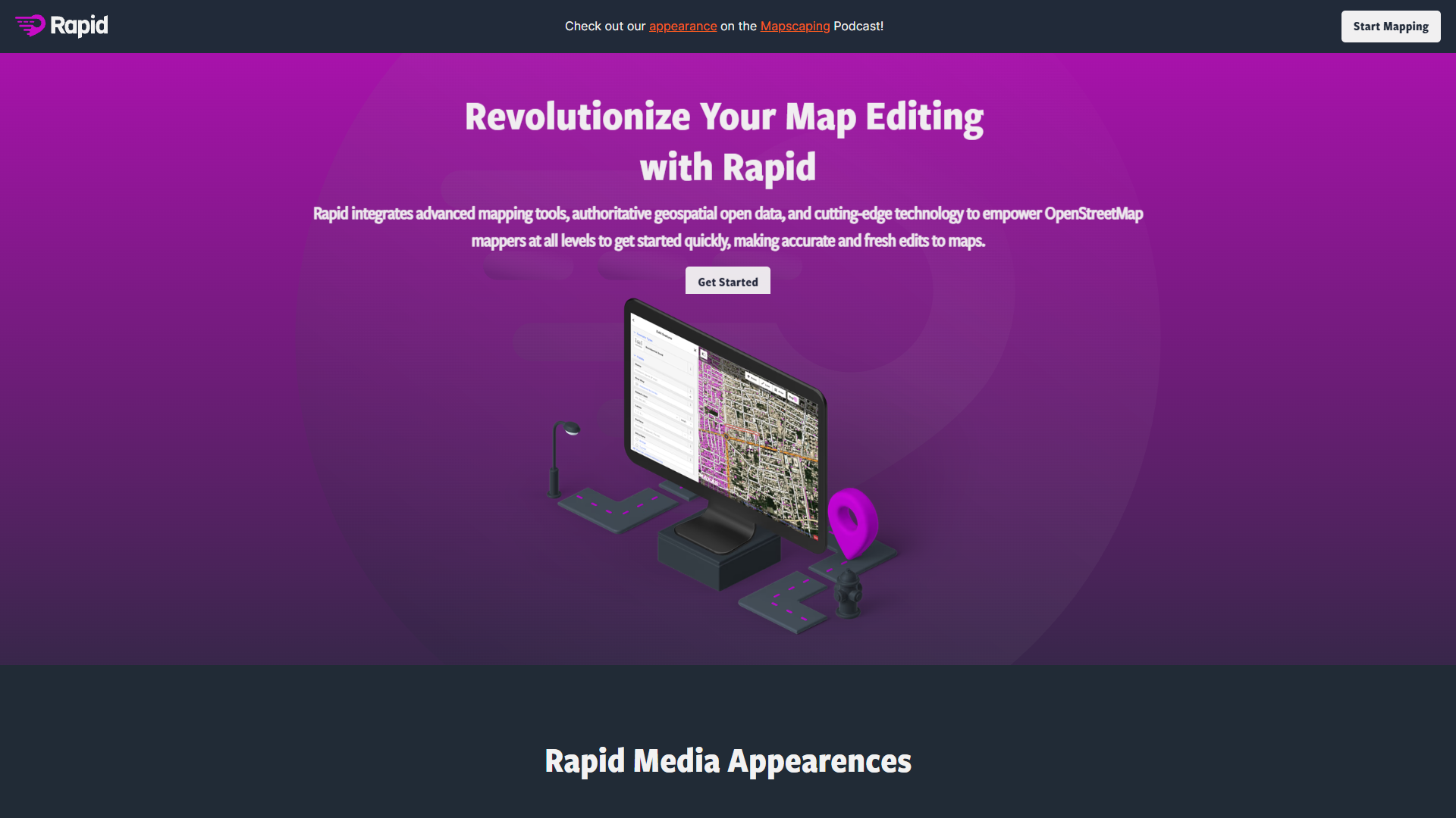
Rapid Editor is an innovative mapping tool that aims to streamline the map editing process for users across different proficiency levels. By integrating advanced mapping tools, authoritative geospatial data, and cutting-edge AI technology, it allows users to make precise and fresh changes to OpenStreetMap projects. One of its standout features is the capability to eliminate much of the manual labor involved in map editing. It uses open data and AI-predicted features to modify maps quickly and accurately. Users benefit from AI-analyzed satellite imagery, which provides an extensive overview of areas that may still be missing or require more data. With an intuitive interface, mappers of any skill level can make significant contributions to mapping projects. Rapid Editor supports individual tasks and large-scale community-driven initiatives, including humanitarian efforts, making it an ideal choice for open-source mapping projects. Its straightforward design and advanced features make it a worthy addition to any mapper's toolkit.
Pros
- Enhanced editing accuracy
- Collaborative mapping support
- Streamlined mapping process
- Vast open data access
- Intuitive user interface
Cons
- Steep learning curve
- Limited offline features
- Dependent on data availability
- Reduced manual mapping skills
- Complexity for beginners
Key features
Advanced mapping technology
Rapid Editor integrates progressive mapping technologies that streamline and enhance the map editing process, ensuring that users of all skill levels can work efficiently and effectively.
AI-predicted feature modifications
Utilizing artificial intelligence, this tool predicts and suggests modifications, reducing manual input and significantly improving the speed of map updates.
Open data integration
The tool taps into a vast pool of open geospatial data, providing users with comprehensive resources to ensure accurate mapping.
User-friendly interface
Designed with an intuitive interface, Rapid Editor makes mapping simple and accessible, guiding users seamlessly through each step of the editing process.
AI-analyzed satellite imagery
Detailed satellite images analyzed by AI help users identify unmapped or missing data areas, enabling more comprehensive and precise map edits.
Community and humanitarian support
The platform is ideal for large-scale mapping projects, supporting community and humanitarian efforts with its robust toolset.
Alternative Ai Development tools
Explore other ai development tools similar to Rapid Editor
FAQ
Here are some frequently asked questions about Rapid Editor.
What is Rapid Editor used for?
Rapid Editor is designed to enhance map editing experiences, particularly for users engaged with OpenStreetMap. It provides advanced tools and open data to help users create accurate and updated maps efficiently.
Is Rapid Editor suitable for beginners?
Yes, Rapid Editor is suitable for both beginners and advanced users. Its intuitive interface and guided features make it accessible for those new to map editing, while its advanced capabilities cater to skilled mappers.
How does Rapid Editor support community projects?
Rapid Editor supports large-scale community and humanitarian projects by providing a robust set of mapping tools and aiding collaborative map editing efforts, making it ideal for group initiatives.
What makes Rapid Editor different from other mapping tools?
Rapid Editor stands out by integrating advanced AI-driven features, extensive data access, and user-friendly design, setting itself apart as an efficient tool for accurate and collaborative mapping endeavors.
How does AI integrate into Rapid Editor?
The tool uses artificial intelligence to predict and suggest feature modifications, which reduces manual editing and speeds up the map updating process. AI also analyzes satellite imagery to identify unmapped areas.
Can Rapid Editor be used offline?
The tool primarily relies on online data sources, which means its features may be limited when used offline. For full functionality, an internet connection is preferred.
Does Rapid Editor provide data for mapping?
Yes, Rapid Editor integrates a vast pool of open geospatial data, ensuring users have access to the necessary data resources to perform accurate map edits and updates.
How can I join the Rapid Editor community?
Users can connect with the Rapid Editor and OpenStreetMap communities through various channels such as Facebook, GitHub, or Slack to stay updated and engage with other mapping enthusiasts.